
Cooper City ZIP Coverage
Two core delivery areas serve most Cooper City addresses, while two nearby codes require address-by-address checks at the edge. The table describes mailing use, not legal municipal land. USPS assigns delivery designations, and Broward County records establish whether a specific parcel lies in Cooper City. No official city source published a full parcel-to-ZIP inventory or a local ZIP realignment history.
| Postal code | Cooper City area | Delivery designation | Verification note |
|---|---|---|---|
| 33328 | Principal northern and central mailing area | Fort Lauderdale/Cooper City | Also used beyond legal Cooper City; City Hall uses it |
| 33330 | Western and southern Cooper City | USPS delivery area shared with adjacent Davie area | Crosses municipal concepts |
| 33024 | Eastern or southeastern fringe references | Hollywood postal area | Verify the exact parcel in BCPA and GIS |
| 33026 | Encountered near the boundary | Pembroke Pines | Not a blanket Cooper City code |
The USPS ZIP Code Lookup is the official starting point for city-and-state or complete-address verification.
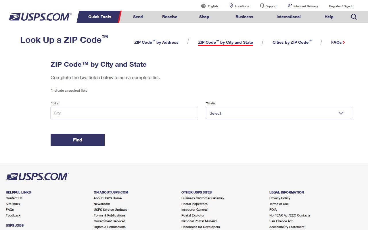
Use the result as a postal fact. It does not prove that the parcel sits inside Cooper City or that every person tied to that delivery code is a city resident.
Core Cooper City ZIP Codes
Use 33328 for the principal northern and central mailing geography and 33330 for much of western and southern Cooper City. Neither code is a closed municipal box. The 33328 delivery area reaches beyond the legal city, and 33330 shares postal geography with adjacent Davie-area addresses. A list grouped by either code must be labeled as addresses using that code, not as land or people located solely inside Cooper City.
Official population context also needs care. The Census Bureau estimated 35,030 Cooper City residents on July 1, 2025 across 8.04 square miles. That citywide figure cannot be divided into local ZIP totals without an official dataset and boundary method. Postal routes and Census geography answer different questions.
Check Cooper City Fringe Codes
Codes 33024 and 33026 are boundary checks. The first is associated with Hollywood delivery near the eastern or southeastern fringe. The second is a Pembroke Pines delivery code sometimes encountered near Cooper City. Neither should be applied across a whole neighborhood merely because a search result pairs the place name with the number.
Run the complete address through USPS, then open the parcel at the Broward County Property Appraiser. Compare the situs postal line, municipality or millage, folio, and subdivision. “Situs” means the physical property address; the mailing address is where tax notices go. They may differ.
Search Cooper City by ZIP
A Cooper City ZIP code directory narrows geography, but no verified local portal offers an open, ZIP-wide resident query. BCPA displays a postal city and code on parcel results, yet its public search starts with owner, address, folio, subdivision, or sales criteria. The individual Broward voter lookup is identity-gated and is not a block browser. Use this sequence when building a documented, ZIP-level result.
- Enter the full deliverable address in USPS lookup. Save ZIP+4 only as proof of that address format.
- Search the same address in BCPA. Record the folio, situs line, municipality or millage, and subdivision.
- Open the BCPA parcel map and inspect whether the parcel lies within Cooper City or an enclave or border area.
- For a broad count, request an official dataset that includes a ZIP field and record its reference date.
- Separate street delivery from PO-box service. No local PO-box-only or unique code was verified.
- Label the output “addresses using the ZIP,” then state how city boundaries were filtered.
Once the code has been reduced to one road or parcel, the Cooper City street directory provides the full address-led workflow. It keeps street and parcel work separate from postal grouping.
Cooper City Voters by ZIP
Broward voter data may be requested by geography, but the individual web lookup cannot be harvested as a ZIP directory. The current 2025/26 request route documents a $20 search fee, a $6 USB option, and Dropbox delivery for large files. Any count must state the file date because registration changes over time.
The Broward voter information page explains which registration details are public and protected.
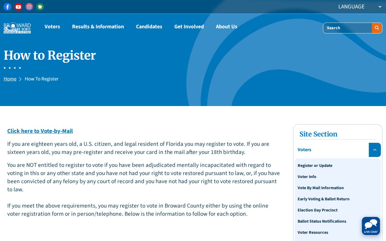
Voter files omit nonregistered people and protected voters. They must not be described as a complete household or resident list.
Florida law also protects the source of registration, Social Security numbers, driver-license or state-ID numbers, preregistrant data, and copied signatures. The current section 97.0585 text controls.
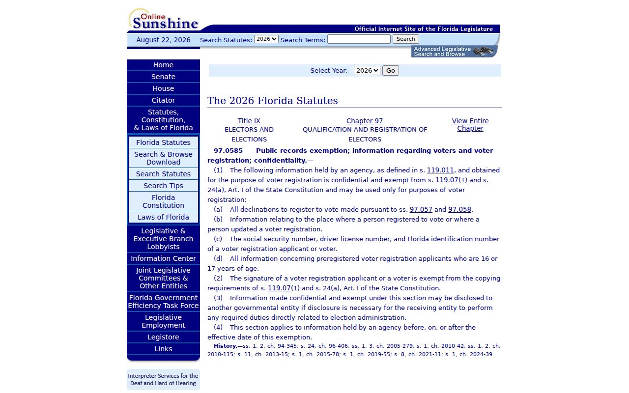
Exclude protected fields and document the custodian, date, and geographic filter used for every ZIP-level total.
Cooper City Address Search Fields
BCPA does not expose a verified public ZIP-wide filter. Its address form instead instructs users to omit the compass direction and street type, then choose the matching result. That method fits Cooper City’s South Florida grid, where SW avenues generally run north to south and SW streets east to west.
| Field or source | What it confirms | Limit |
|---|---|---|
| USPS complete address | Postal code and ZIP+4 | Not legal city status |
| BCPA address | Matched parcel and situs line | Search starts by address, not a broad code |
| BCPA folio | Stable parcel identifier | Identifies land, not every occupant |
| Subdivision | Plat-based local grouping | May cross an informal neighborhood label |
| Voter data request | Public voter fields by requested geography | Not a full resident count |
Florida’s public-record inspection and copying rules provide a fallback when a needed public dataset is not posted online. The official section 119.07 text sets that framework.
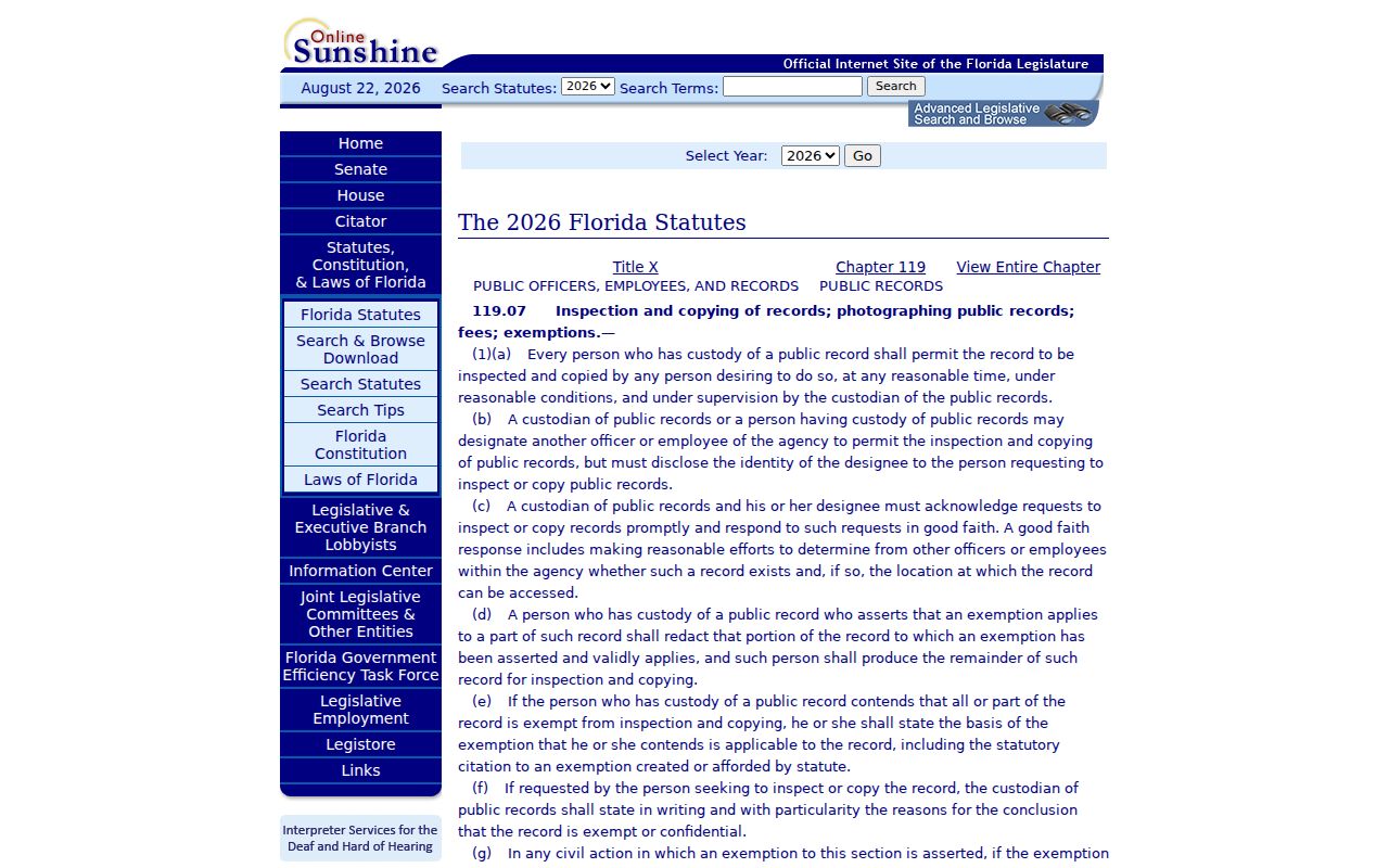
Describe the record sought and ask the actual custodian for the existing data, rather than asking an agency to create a new analysis.
Cooper City ZIPs and Limits
ZIP boundaries follow delivery needs, not city charters. Cooper City reports complex boundaries and parcels inside the geographic outline that are not legally part of the city. Sunshine Acres and Rio Ranches, between 106th and 114th Avenues, were de-annexed in the early 1960s. A Cooper City mailing line, taxing authority, code jurisdiction, and legal municipality can therefore disagree.
- ZIP and ZIP+4
- The five-digit code marks a delivery area; the extra four digits narrow delivery for an address or group.
- PO-box ZIP
- A code used for post-office boxes rather than ordinary street delivery.
- Unique ZIP
- A code assigned to one organization receiving a very large amount of mail.
- Carrier route
- The set and order of addresses served by one postal delivery route.
Use BCPA millage or municipality data and the parcel map to answer whether a parcel is legally in Cooper City. Use USPS for the delivery label. Never treat either answer as proof that a named person currently lives there.
Historic Cooper City ZIP Addresses
Older address references may not match today’s ZIP code directory wording. Early maps called 90th Avenue Morris Cooper Boulevard. Griffin Road was known as Halloween Road before it was paved in 1963, and Stirling Road was paved to 100th Avenue, also called Palm Avenue, in 1967. Search all verified aliases in old newspapers, deeds, and reverse directories.
A folio is safer than a street label for following land through these changes. It is the parcel’s stable Broward identifier. A legal description uses the subdivision, lot, and block tied to a recorded plat. Together they bridge a historic road name to the current postal address without guessing at a ZIP.
Cooper City ZIP Record Updates
Address-based municipal records can add current context after postal and parcel checks. In June 2026, Cooper City adopted Ordinance 26-14, updating code-enforcement citation fines across several municipal categories. Such cases may later appear in city files or recorded liens, but the postal code alone is not a search key for every municipal system.
The official Cooper City code-enforcement update records the recent change.
Search municipal material with the verified street address and legal description, then keep its result separate from any ZIP-level list.
The city lien-search product is a useful next step because its written response can include unpaid utility charges, formal or informal municipal liens, special assessments, code violations from the prior 12 months, and open building permits issued after May 1993. The request requires a legal description along with requester contact details, so BCPA should come before the city request. A permit applicant, contractor, or cited owner is not automatically a resident.
ZIP-based research should always retain a reference date. Postal delivery boundaries can change, a parcel mailing line can differ from its situs address, and a voter extract reflects the registration file at the time supplied. Save the full USPS result, BCPA folio, municipality or millage fields, and any data-request description. Those four pieces show whether the search described mail delivery, legal jurisdiction, parcel ownership, or registered voters. Without that separation, a ZIP total can be mistaken for Cooper City's legal population or a list of everyone who lives there.
For older material, search both the historic and present road forms before concluding that an address is missing. Then use the legal description and recorded plat to bridge the old label to a modern parcel. Check nearby house numbers when a directory used an old grid or abbreviated street form. ZIP codes are a useful first filter, but the folio remains the stable local key.