
Walk a Cooper City Street
A useful street-by-street search separates ownership from occupancy. The Broward County Property Appraiser identifies the assessed owner and parcel. The county deed index documents transfers. Voter data may add registered adults, while reverse directories can preserve older occupants. None is a complete household list. Build the answer one source at a time and keep the same folio and legal description with every note.
- Enter the address in the BCPA Property Search. Save the folio, owner, situs address, mailing address, legal description, subdivision, and sale links.
- Open the BCPA Web Map. Click parcels along the block and confirm that each address matches the right polygon.
- Use the owner and folio in Broward Official Records. Follow deeds, liens, mortgages, and plats that match the legal description.
- Request a voter list by geography from the Broward Supervisor of Elections. Treat it as a list of registered voters, not everyone at an address.
- For older occupancy, ask Broward Library or the State Library about reverse directories that cover suburban Broward, then search by house number and street alias.
This flow turns a postal address into several checkable records. It also prevents a common error: assuming that a deed owner, homestead claimant, mailing recipient, and resident must all be one person. A reliable Cooper City street directory marks which source supports each name.
Search Cooper City Addresses Precisely
BCPA is the strongest first stop because its record links an address to a stable folio and legal description. Property Search accepts several routes. The Web Map has a useful address rule: omit the direction and street type. Search the house number with the street name, rather than adding “SW” or “Avenue.” If several results appear, compare subdivision, lot, and parcel shape before choosing one.
| BCPA field | Use | Format note |
|---|---|---|
| Owner name | Find parcels assessed to a person or entity | Try spelling variants |
| Street address | Open one Cooper City property record | In Web Map, omit direction and street type |
| Folio | Retrieve the exact parcel | Best key after the first match |
| Subdivision | Group platted lots | Useful when street forms changed |
| Sales | Review transactions | Follow book-number links to deeds |
The parcel detail distinguishes situs from mailing address. Situs means the physical property location. The mailing address is where the tax notice goes. A match between them, especially with homestead, supports owner occupancy but does not prove who else lives there. A different mailing address can reflect an absentee owner, trust, or simple mailing preference.
Note: Save the folio before leaving BCPA because names and street forms vary more often than the parcel identifier.
Map Cooper City Street Parcels
The parcel map supplies the street context that a single property card lacks. Search by folio, owner, or house number and street name. Then zoom, click each parcel polygon, and use the layer and identify tools. “Collect Parcels” can hold several lots at once, while “Unselect Parcel” clears the set. Measure tools help define a street segment. Ownership should still be confirmed on the assessment record.
The official Broward parcel viewer shows how Cooper City parcels line up along a block.
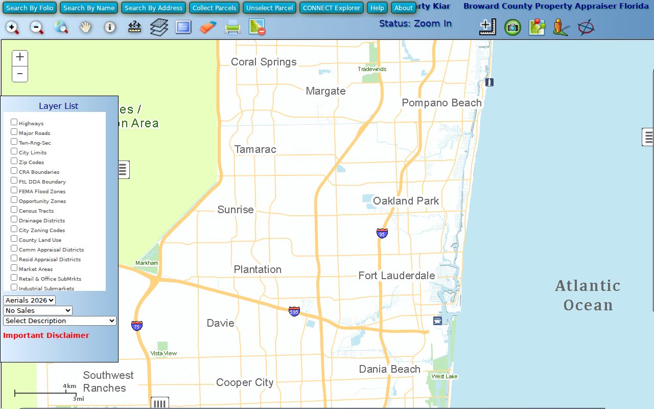
Use the visible parcel boundaries to catch vacant land, corner lots, canals, common areas, and address gaps before treating house numbers as a simple sequence.
Cooper City Street Record Sources
No single agency maintains a complete Cooper City street directory. Each address-keyed source answers a narrower question, so the best evidence comes from linking the folio, legal description, street form, and date.
| Address source | Keeper | What it can show | Access route |
|---|---|---|---|
| Assessment roll | BCPA | Owner, situs, mailing address, folio, values, exemptions, sales | Free property portal |
| Parcel map | BCPA | Parcel shape, adjacent lots, map layers | Free interactive viewer |
| Deeds, liens, plats | Broward Records, Taxes and Treasury | Parties, legal description, recording data, consideration | Online index; older office media |
| Voter list | Broward Elections | Public voter fields at normalized residence addresses | Data request, $20 per search |
| Permit and lien response | Cooper City | Open permits after May 1993, recent violations, city balances | Written request with legal description |
| Tax bill | Broward Tax Collector | Billed owner, address, payment status | County tax lookup |
A street worksheet should include one row per parcel and separate columns for owner, mailing address, homestead evidence, deed instrument, voter presence, and city file notes. Record the source date. These systems update on different schedules, and a mismatch can be a timing issue rather than an error.
Cooper City Lien Address Search
Cooper City offers a written lien search that adds a municipal layer to the county street directory. The request must be on letterhead and include the requester’s name, address, email address, and the property’s legal description. A hard-copy response also needs a self-addressed stamped envelope. Results can include unpaid utility charges, formal or informal municipal liens, special assessments, City Code violations from the prior 12 months, and open building permits issued after May 1993.
The Cooper City lien-search instructions show why the legal description matters more than a casual address.
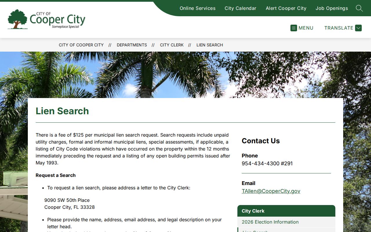
This is a staff search service, not an anonymous live database. Permit applicants, contractors, owners, and alleged violators can appear, but a name in a file does not by itself establish residence.
Code enforcement can also bridge city and county files. An order naming an owner or violator may mature into a lien recorded in Broward Official Records. Search both systems when a street address shows unresolved municipal work.
Follow Cooper City Street Deeds
BCPA sale-history links provide a clean path from the current property card to a recorded deed. In the recorder index, confirm the legal description and parcel linkage instead of relying on a matching surname. A deed can show grantor, grantee, consideration, execution, notary, and recording details. The return-to address belongs to document handling and should not be called a residence.
The Official Records search offers name, book and page, document type, instrument number, case number, consideration amount, recording date, simple-search options, and parcel ID. Fully searchable coverage begins at a precise point on July 7, 1977. The period from March 9, 1972 to that cutoff has instrument, book-page, and date limits. Earlier material requires Search and Copy assistance.
The county’s recording and deed guidance leads into this address trail.
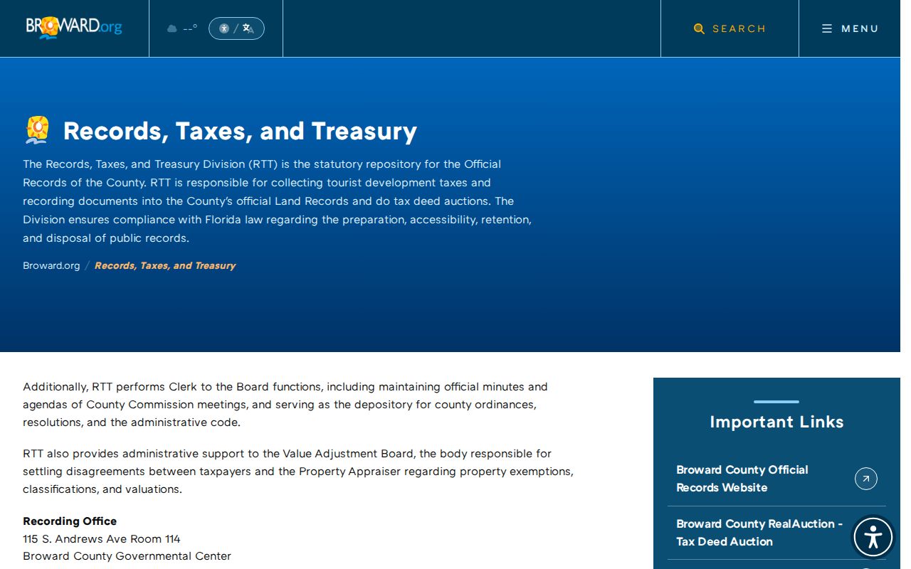
For a whole street, repeat the search by parcel rather than searching one owner name across all records. That preserves each lot’s chain and reduces same-name mistakes.
Add Cooper City Voter Addresses
The individual Broward voter lookup is identity-gated and is not a public block browser. Street-level work uses a Registered Voter List request instead. The request should state the geography, fields, and desired output. Broward documents a $20 fee per database search, an optional $6 USB, and Dropbox delivery for files over 10 MB. The office also accepts public-record requests by email.
Public or requestable fields can include name, residence and mailing address when not exempt, date of birth, party, status, registration date, districts, precinct, and election participation. A ballot choice stays secret. Registration source, Social Security and state ID numbers, preregistrant data, signature copies, and protected addresses are confidential under Florida law.
Normalize each residence address to the BCPA form before matching. Registered voters can reveal people absent from the property roll, but nonvoters will not appear. Voter presence is one layer, never proof of a complete household.
Historic Cooper City Street Names
Old address references need date-aware searching. Early maps called 90th Avenue Morris Cooper Boulevard. Griffin Road was once known as Halloween Road before it was paved in 1963, and Stirling Road reached 100th Avenue or Palm Avenue in 1967. Search both the old and current form in directories, newspapers, plats, and deed descriptions.
Boundary history adds another trap. Sunshine Acres and Rio Ranches between 106th and 114th Avenues were de-annexed in the early 1960s. Cooper City also recognizes enclaves and parcels that do not fit a simple mailing-city test. Use BCPA municipality or millage data and parcel geometry before labeling every “Cooper City” mailing address as legally inside the city.
This local quirk matters most in older street directory work. A legal description and folio can bridge a name change or jurisdiction mismatch when a typed address returns nothing.
Read Cooper City Address Terms
County and historical sources use several terms that look alike but serve different jobs. Keeping them separate makes an address search easier to audit.
- Parcel or folio
- The assessor’s stable identifier for one mapped property.
- Situs address
- The physical location of the parcel, distinct from the tax-mail destination.
- Plat
- A recorded map that lays out subdivision lots, blocks, roads, and easements.
- Legal description
- The land description used in title records, often subdivision, lot, and block.
- Criss-cross directory
- A directory arranged by street and house number rather than only by surname.
The legal description is the best bridge among BCPA, deeds, plats, and the city lien request. The printed street form remains important for voter files, permits, and reverse directories.
Note: A telephone book is not always a criss-cross directory, so ask whether the volume includes an address-arranged section.
Older Cooper City Street Directories
Reverse directories can place occupants between deeds, but Cooper City has no verified standalone run with published years. The city began in 1959 and may appear within Fort Lauderdale, Davie, Broward, telephone, or suburban volumes. Ask the State Library and Broward County Library for the geographic coverage page and abbreviation key before accepting a match.
Search the surname and the house-number section, then compare nearby years. An appearance in one volume and absence in the next only brackets a move. It does not establish an exact arrival date. Newspaper items in the Broward Digital Archives can fill gaps, including Sun-Tattler West pages documented by 1985. The collection details belong in the Cooper City city directory resource.
Limits of Cooper City Street Records
A Cooper City street directory cannot name every person in every home. Property records list assessed owners, not all occupants. Homestead is evidence of an owner’s permanent Florida residence, not a household roster. Voter data excludes nonregistered residents and protected addresses. Permit contacts may be contractors or applicants. Utility and motor-vehicle customer data are not open household lists.
Absence also needs care. A person may have moved, declined a directory listing, used another postal form, or lived outside a volume’s suburban coverage. Compare dates and source purposes. For current ownership, rely on BCPA and the deed image. For occupancy, seek two independent records tied to the same address and time.
When results conflict, keep the folio and legal description as the parcel anchors, then record the date attached to each name. A newer assessment can coexist with an older voter address or directory entry without either record being false for its own date. Ask the correct custodian to fix a true error.
Lawful use. Cooper City address records are for lawful personal research, property history, and civic review. Never use them to stalk, harass, threaten, or harm a person.